 >
>  >
> 

> >
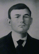 Joseph ROLL (1877-1918)
 Other NORTH DAKOTA Maps
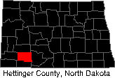
North Dakota Towns of our Forefathers.
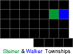
Walker Township Maps
In 1910, Joseph ROLL (1877-1918) owned the green-shaded areas in sections 11, 13, and 14. We do not know which ROLL brothers owned the yellow-shaded area in section 13. Notice St. Placidus Church is located west of the homestead in section 10.
Other NORTH DAKOTA Maps
North Dakota Towns of our Forefathers.
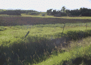 a.
a.  b. a) View from the southeast corner of the Joseph ROLL homestead farm looking northwest. See the green-shaded area in section 14 of the 1910 Steiner township map b) Standing on the south side of section 13 looking north.

![]()
![]() where George (1867-1938)
where George (1867-1938) ![]() & Sebastian (1876-1930)
& Sebastian (1876-1930) ![]() ROLL homesteaded.
ROLL homesteaded.
![]() 1981 Terraserver on-line aerial map (see "Topo" view, then change to "Aerial" view).
1981 Terraserver on-line aerial map (see "Topo" view, then change to "Aerial" view).
![]() Burt area on-line map
Burt area on-line map ![]() - MapQuest.com mapping web site.
- MapQuest.com mapping web site.
1910 Steiner Township 135 North, Range 92 West
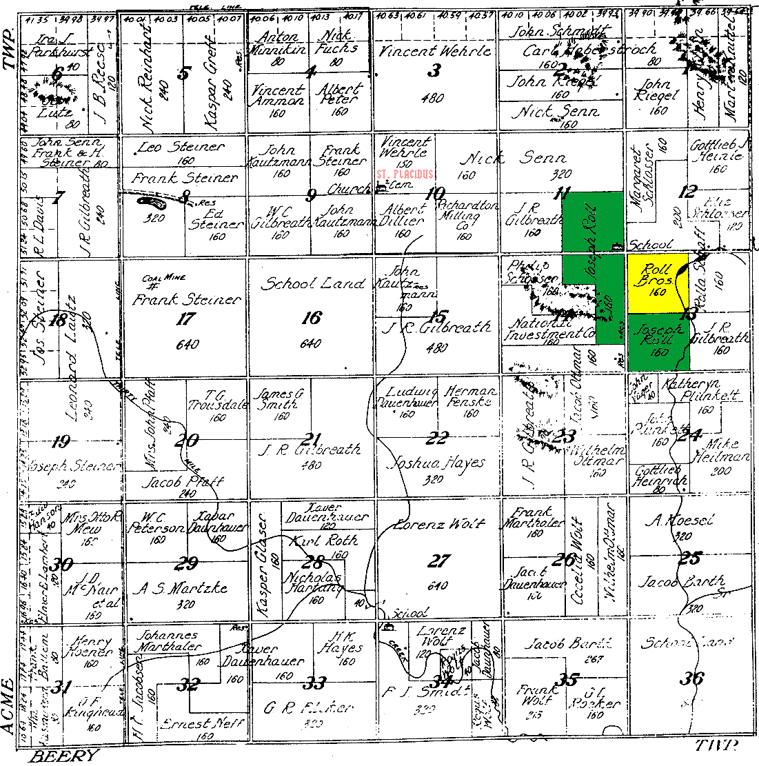
1910 STEINER TOWNSHIP, HETTINGER COUNTY, NORTH DAKOTA MAP TOWNSHIP RANGES
2000 Steiner Township 135 North, Range 92 West
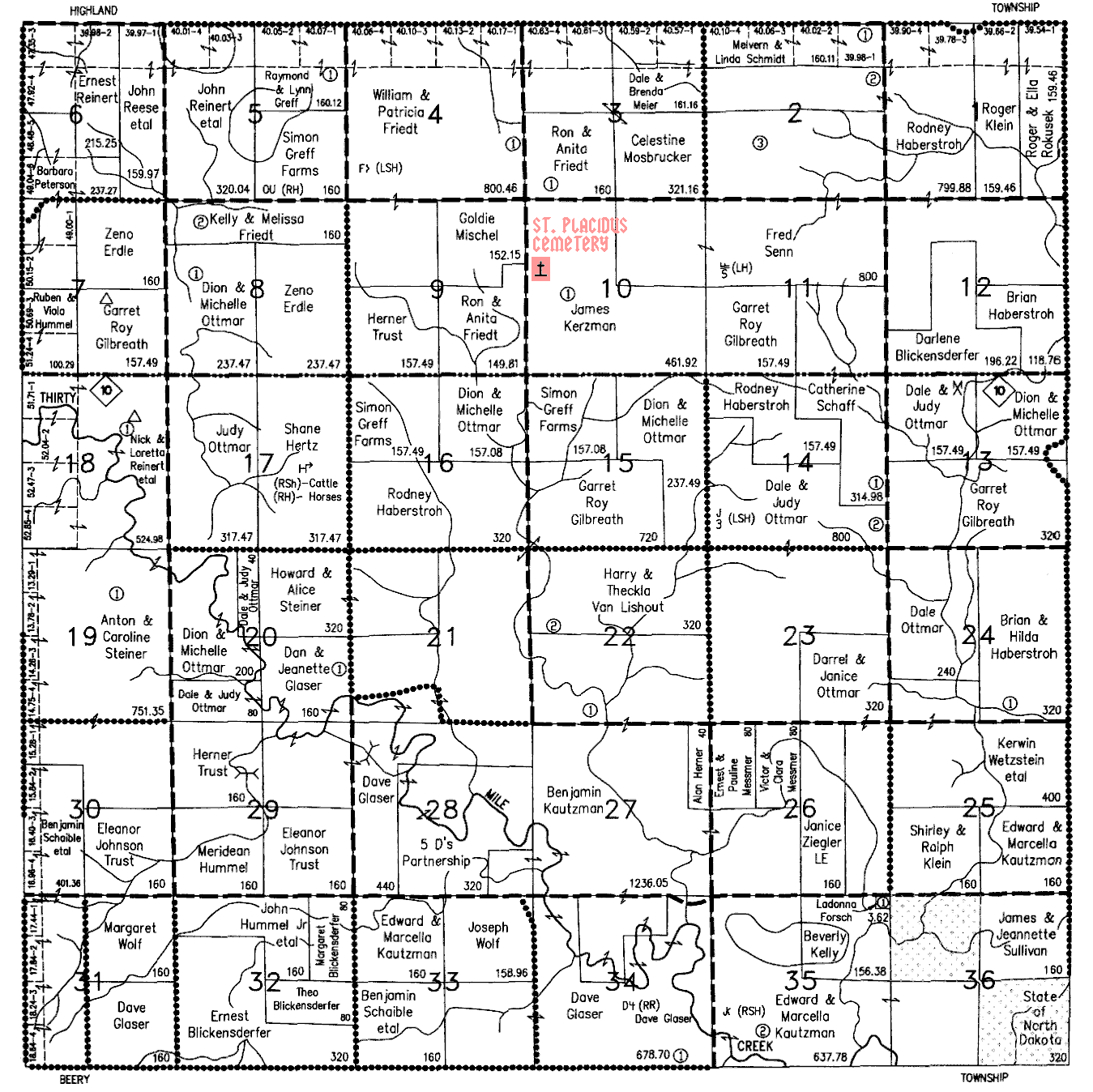
2000 STEINER TOWNSHIP, HETTINGER COUNTY, NORTH DAKOTA MAP WITH TOWNSHIP RANGES![]()
![]()
![]()
![]() ROLL Reunion
ROLL Reunion
"The German is like a willow.
No matter which way you bend him,
he will always take root again."
- Alexander Solzhenitsyn - ![]()
Questions, Comments, Suggestions to WebMaster. Thank you. © Copyright 2000 - 2014